Hawaii Aerial & Drone Photography
Hawaii Aerial & Drone Photography. FAA‑certified aerial imagery for resorts, master‑planned communities, development sites, and hospitality projects across the Hawaiian Islands.
Our Hawaii aerial photography and drone services support developers with multi‑elevation view studies, site documentation, circulation analysis, and pre‑construction planning imagery.
We capture the context, scale, and environmental relationships that teams need for entitlement packages, investor presentations, and design development.
Aerial Photography for Hawaii’s Built Environment
Our Hawaii Aerial & Drone Photography Services Include:
- Drone photography & video
- Doors‑off helicopter aerials
- Multi‑elevation view studies
- Aerial panoramas (20ft–200ft)
- Grid‑based aerial mapping
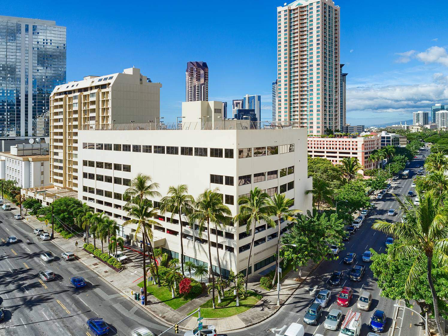
- Resort & hospitality aerials
- Development & master‑planned community aerials
- Luxury real estate aerial photography
Our aerial services help teams visualize scale, context, circulation, and the relationship between Hawai‘i’s built environment and its surrounding landscape from a true bird’s‑eye perspective.
We create high‑resolution aerial imagery that supports:
- resort marketing
- master‑planned community documentation
- architectural design
- development presentations
- pre‑construction planning
- investment and sales packages
- hospitality operations
- multifamily and senior living marketing
Our aerial work helps teams communicate scale, context, circulation, and the unique relationship between Hawai‘i’s built environment and its natural surroundings.
Get a custom quote for drone photography
Hawaii Aerial & Drone Photography Services
Doors‑Off Helicopter Photography
High‑altitude, cinematic aerials captured from a doors‑off Hughes 500.
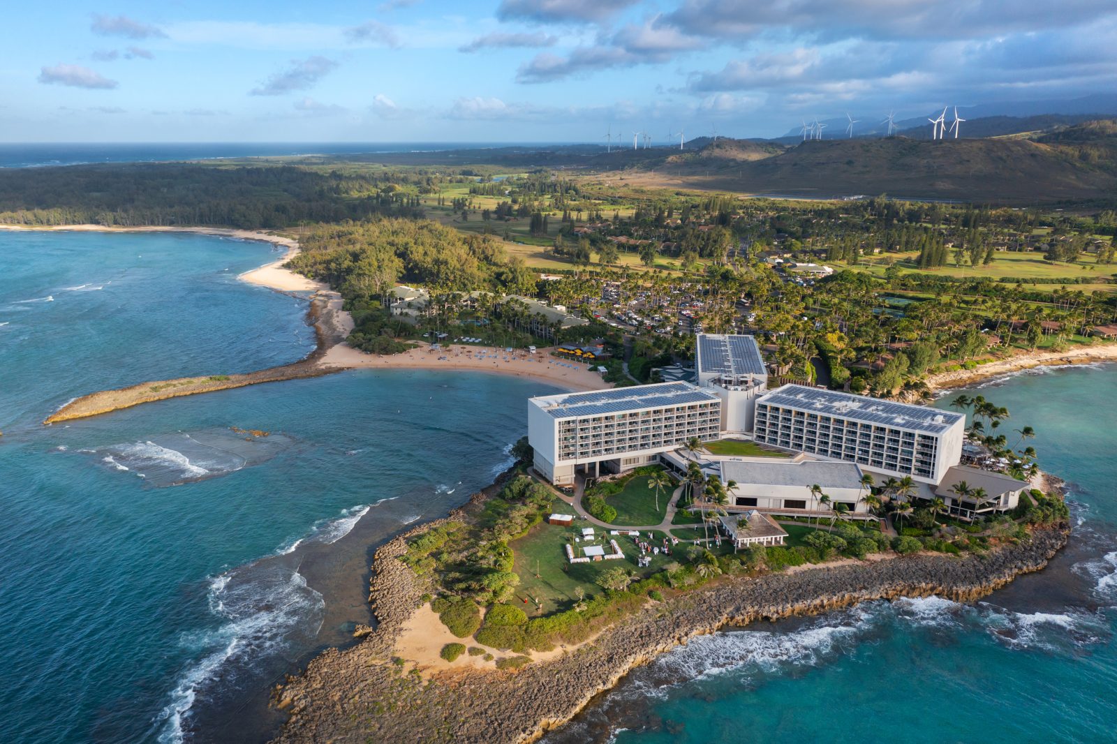
- large resort campuses
- coastline and oceanfront context
- master‑planned communities
- regional development views
- architectural massing and site relationships
- marketing hero images
Ideal for projects requiring broad coverage, elevation, and unobstructed views.
Get a custom quote for this exact service

Multi‑Elevation Aerial Panoramas (View Corridors)
360° aerial panoramas captured at multiple heights for developers and planners.
- future unit views
- pricing strategy
- view corridor analysis
- pre‑sales and investor materials
- entitlement and planning presentations
We capture consistent elevations (20ft, 40ft, 60ft, 80ft, 100ft+) to support design and development decisions.
Get a custom quote for this exact service
Aerial Photography for Hawaii Developers
Our aerial and drone photography supports every stage of development in Hawai‘i — from early site evaluation to marketing and sales. Multi‑elevation panoramas help teams understand view potential, while high‑resolution aerials document progress, access, and surrounding land use.

Drone Orbitals
Controlled 360° circular passes around a building or site.
- architectural context
- property scale and massing
- leasing and sales visuals
- hospitality marketing
- multifamily and senior living communities
Orbitals provide a complete, dynamic view of a project in its environment.
Get a custom quote for drone orbital photography

Campus‑Grade Aerial 360° Panoramas
Ultra‑high‑resolution aerial panoramas covering large properties.
- resort campuses
- university and medical campuses
- industrial parks
- multifamily communities
- mixed‑use developments
- master‑planned communities
Perfect for interactive maps, digital experiences, and large‑scale marketing.
Get a custom quote for an aerial panorama of your master-planned community or campus

High‑Detail Grid‑Based Aerial Mapping (Stitched Imagery)
We fly precise grid patterns to create ultra‑high‑resolution stitched aerial imagery for large sites and complex properties.
- true‑to‑scale site documentation
- land use and planning analysis
- master‑planned community mapping
- resort and campus‑grade mapping
- pre‑construction and entitlement packages
- environmental and coastline studies
- developer presentations and investor materials
This method produces a measurable, distortion‑free aerial map with exceptional clarity — ideal for teams who need accurate, high‑detail visuals for planning, design, and communication.
Get a custom quote for aerial mapping photography

Aerial Video & Stills
FAA‑certified drone video and still photography for:
- resort and hospitality marketing
- development updates
- construction progress
- leasing and sales
- social media and digital campaigns
- architectural documentation
We deliver stabilized video, smooth orbits, tracking shots, and high‑resolution stills.

Why Aerials Matter in Hawaii
Aerial imagery is essential for communicating:
- oceanfront proximity
- resort scale and circulation
- access, arrival, and guest flow
- amenity relationships
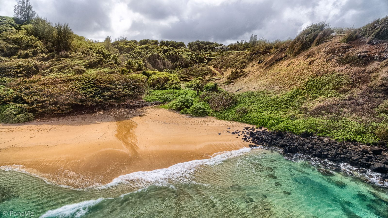
- coastline and landscape integration
- development phasing
- site constraints and opportunities
- neighborhood and regional context
For developers, operators, and architects, aerials are often the most effective way to show the story of a property.
Islands We Serve
We provide aerial photography across:
- Oahu
- Maui
- Kauai
- Hawaii Island
- Lanai (by arrangement)
We work with resorts, developers, architects, operators, and commercial clients throughout the islands.
FAA‑Certified & Experienced in Hawaii Airspace
We operate under FAA Part 107 and have extensive experience flying:
- controlled airspace
- resort corridors
- coastal zones
- high‑wind environments
- helicopter operations
Safety, compliance, and coordination are built into every project.
Why Panaviz
Panaviz is a Hawaii based architectural photography studio trusted by developers, architects, and hospitality brands across the islands. We combine FAA‑certified aerial operations with deep local experience to capture the imagery teams need to communicate scale, context, and design intent.
What sets us apart:
- Hawai‘i‑based, Hawai‘i‑experienced — We understand island airspace, resort corridors, and coastal conditions.
- Developer‑grade deliverables — Multi‑elevation panoramas, stitched grid mapping, and view studies built for planning and pre‑sales.
- Hospitality‑ready visuals — Cinematic aerials for resorts, hotels, and destination marketing.
- FAA‑certified + helicopter‑qualified — Doors‑off helicopter work and controlled‑airspace operations.
- Consistent, high‑resolution results — Every project is planned and executed with clarity and precision.
Panaviz delivers aerial imagery that supports development, hospitality, and master‑planned communities across the Hawaiian Islands.
Frequently Asked Questions
Do you provide aerial photography for development sites and master‑planned communities?
Yes — we regularly capture aerials for developers, planners, and architects. This includes view corridors, stitched grid mapping, multi‑elevation panoramas, and large‑scale campus imagery.
Can you capture future unit views for pricing and pre‑sales?
Absolutely. We create multi‑elevation aerial panoramas (20ft, 40ft, 60ft, 80ft, 100ft+) to help teams evaluate view potential, pricing strategy, and unit positioning.
Do you offer doors‑off helicopter photography?
Yes — we fly doors‑off in a Hughes 500 for high‑altitude, cinematic aerials ideal for resorts, coastline properties, and large development sites.
Are you FAA‑certified to fly drones in Hawai‘i?
Yes — we operate under FAA Part 107 and have extensive experience flying in controlled airspace, coastal zones, and resort corridors across the islands.
Can you provide stitched aerial maps or grid‑based imagery?
Yes — we fly precise grid patterns and stitch the images into high‑detail, distortion‑free aerial maps suitable for planning, entitlement, and development presentations.
Do you work with hospitality groups and resort operators?
We do. We capture aerial stills, video, and campus‑grade panoramas for resorts, hotels, and hospitality brands across Hawai‘i.
Which islands do you serve?
We provide aerial photography on O‘ahu, Maui, Kaua‘i, Hawai‘i Island, and Lana‘i (by arrangement).
Can you capture both video and stills during the same flight?
Yes — we deliver stabilized video, smooth orbitals, tracking shots, and high‑resolution stills in a single session.
Our Hawaii Architectural Services
Hawaii Hospitality Photography
Hawaii Residential & Mixed‑Use Photography
Hawaii Senior Living Photography
Hawaii Luxury Retail Photography