Skip to content

Kauai Resort Residence Photography

Hotel Resort Photography

Kauai Resort Residence Photography

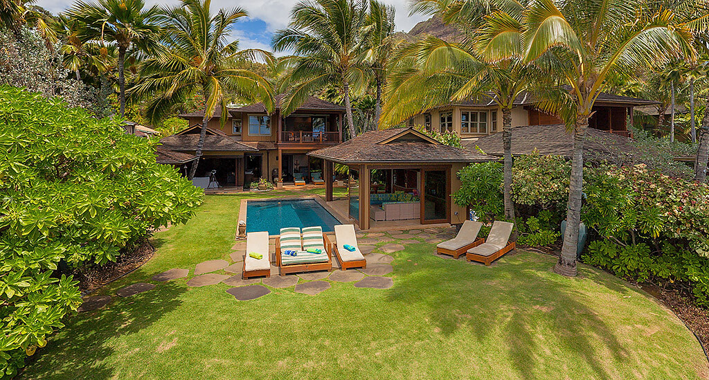
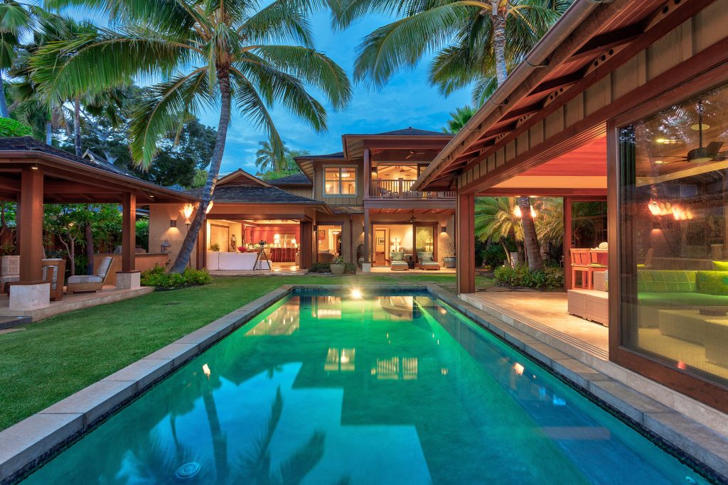
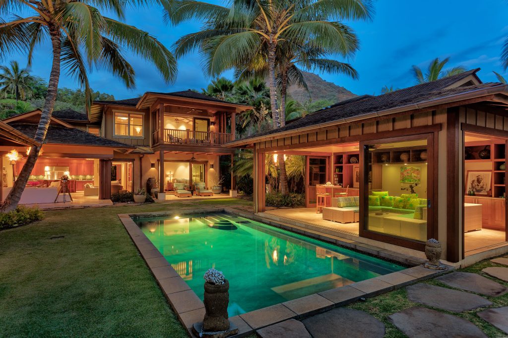
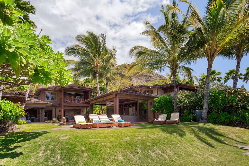
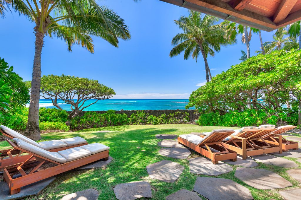
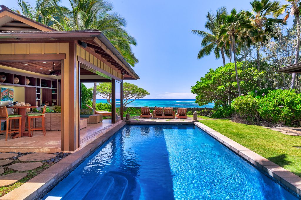
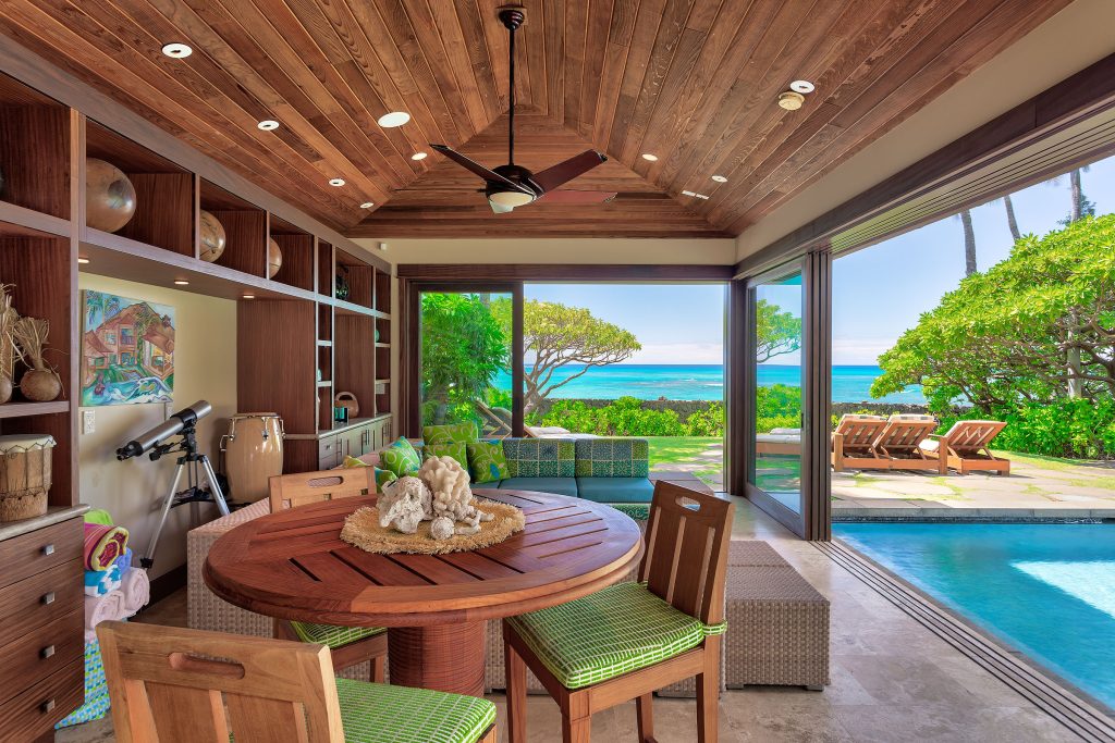
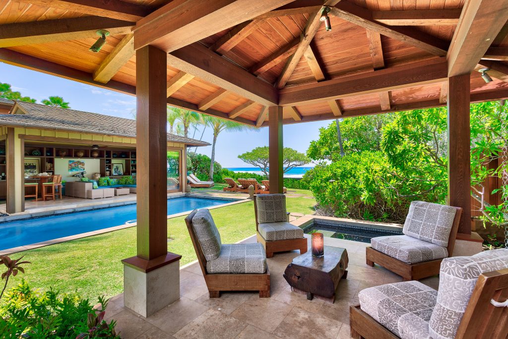
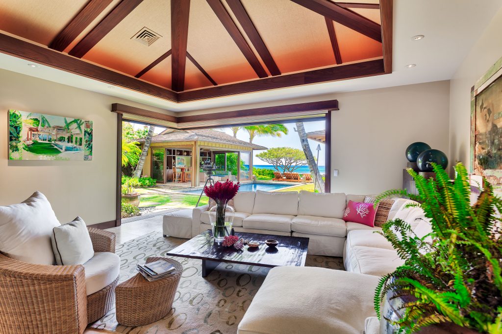
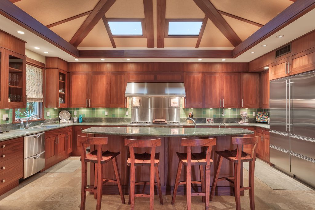
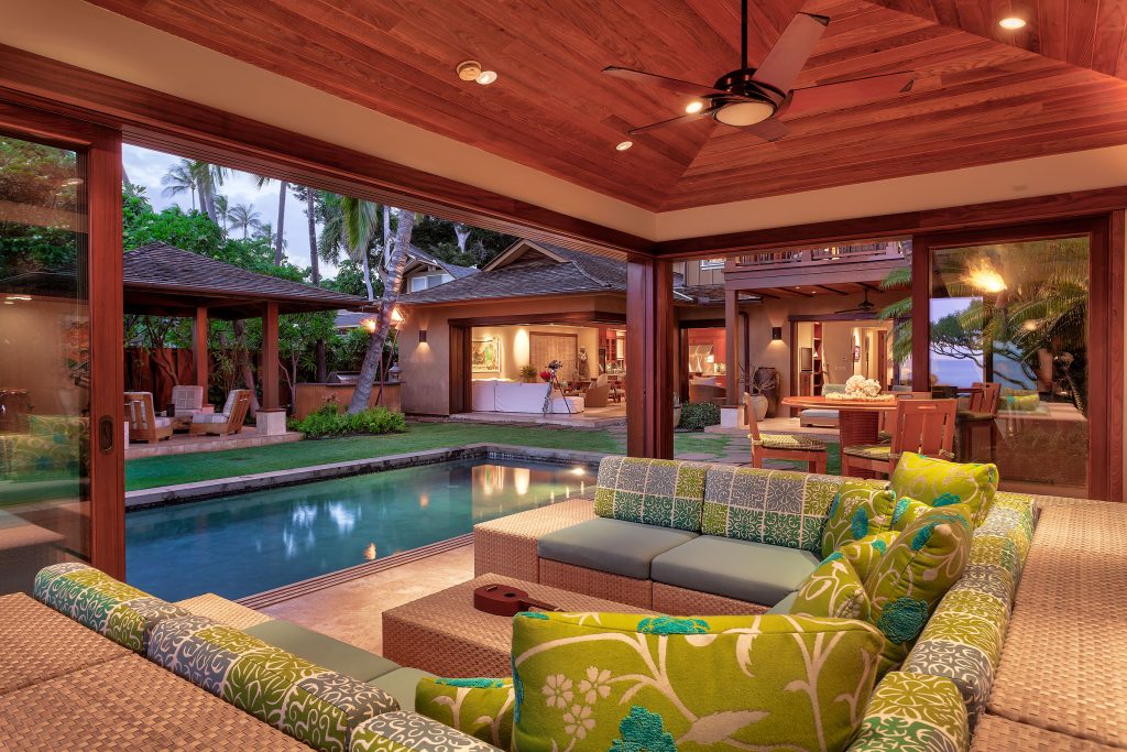
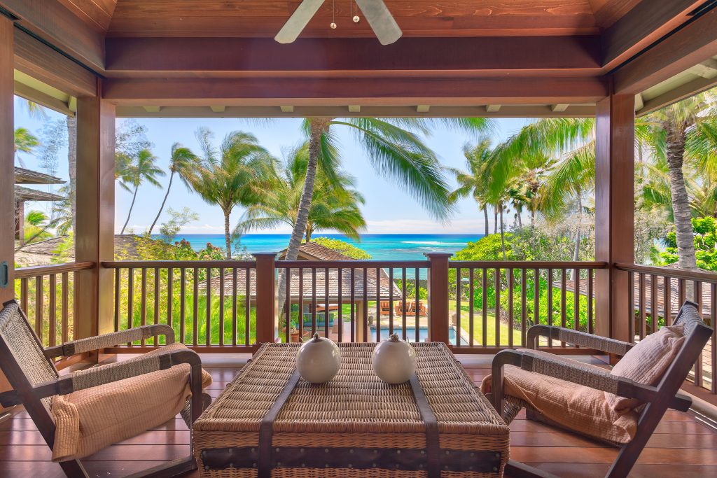
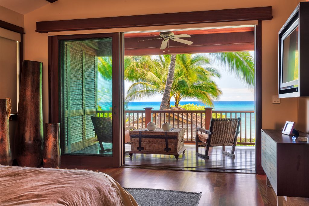
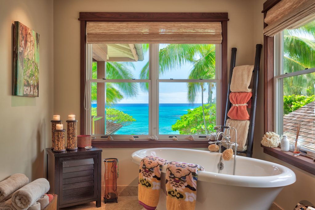
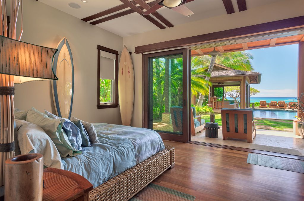
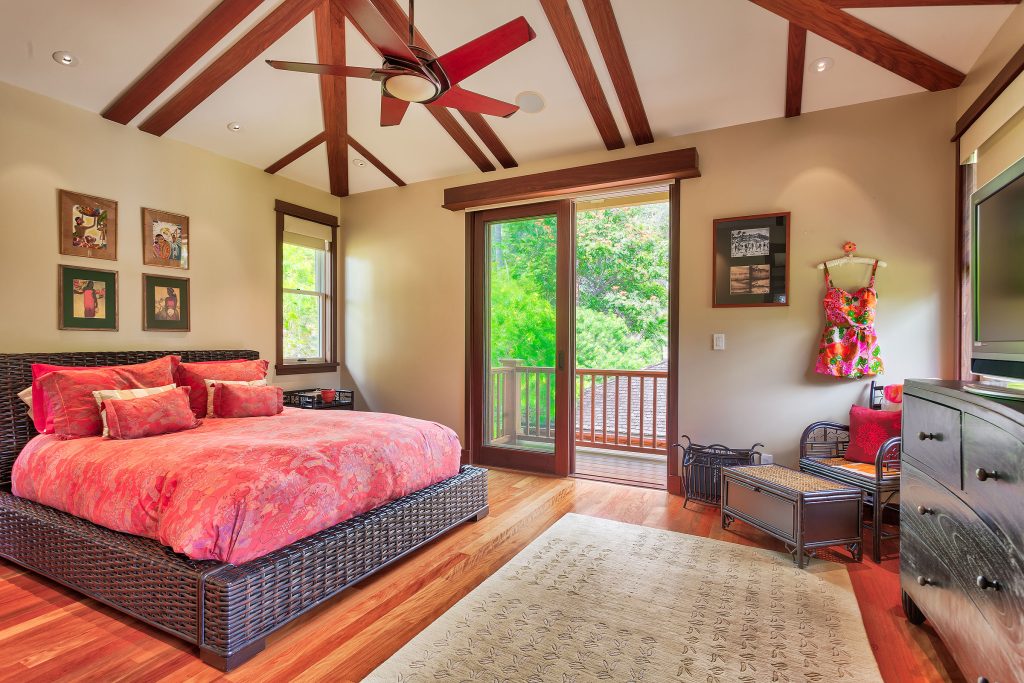
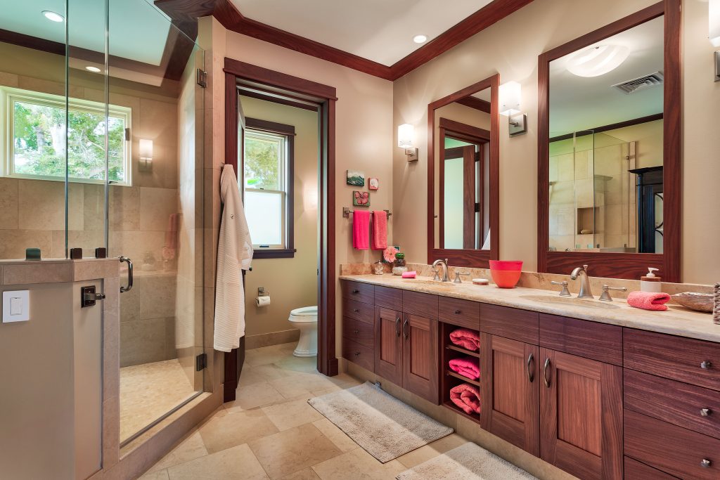
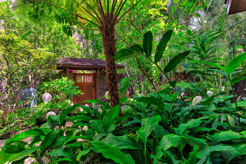
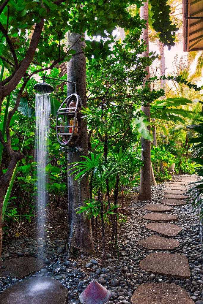
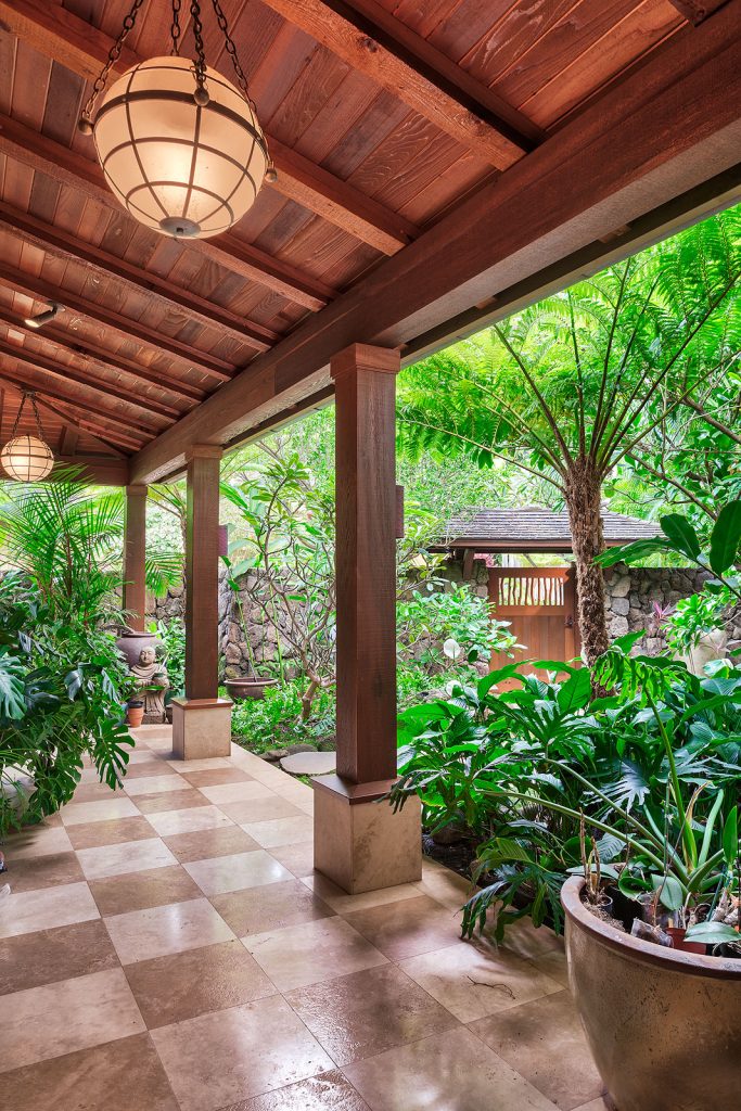
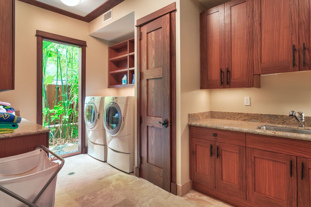
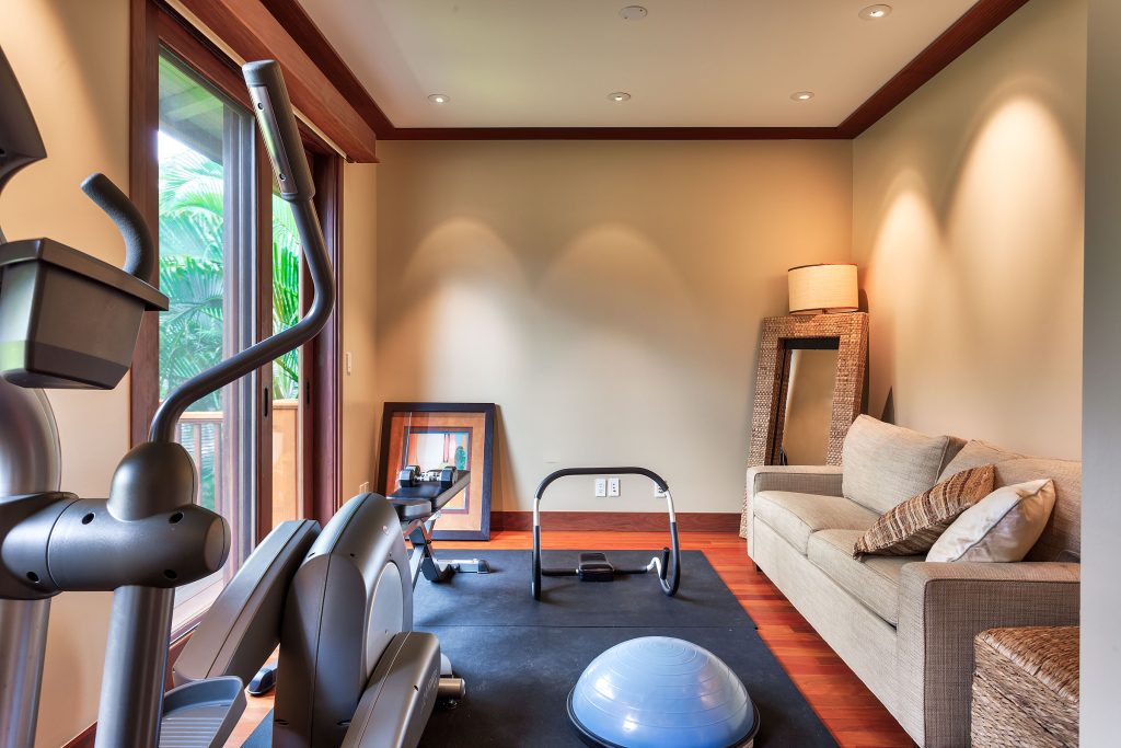
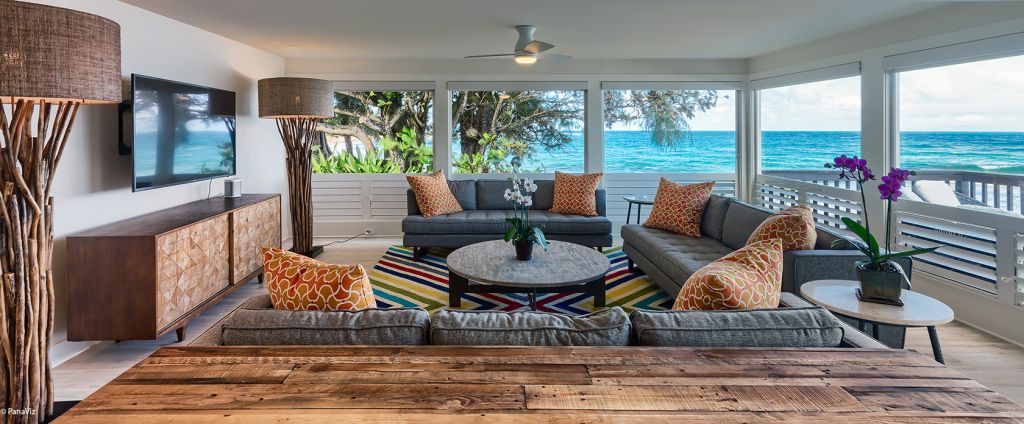
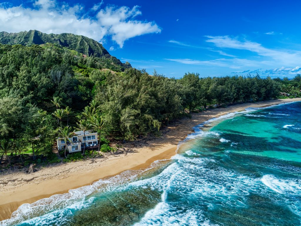
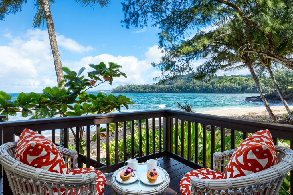
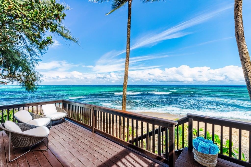
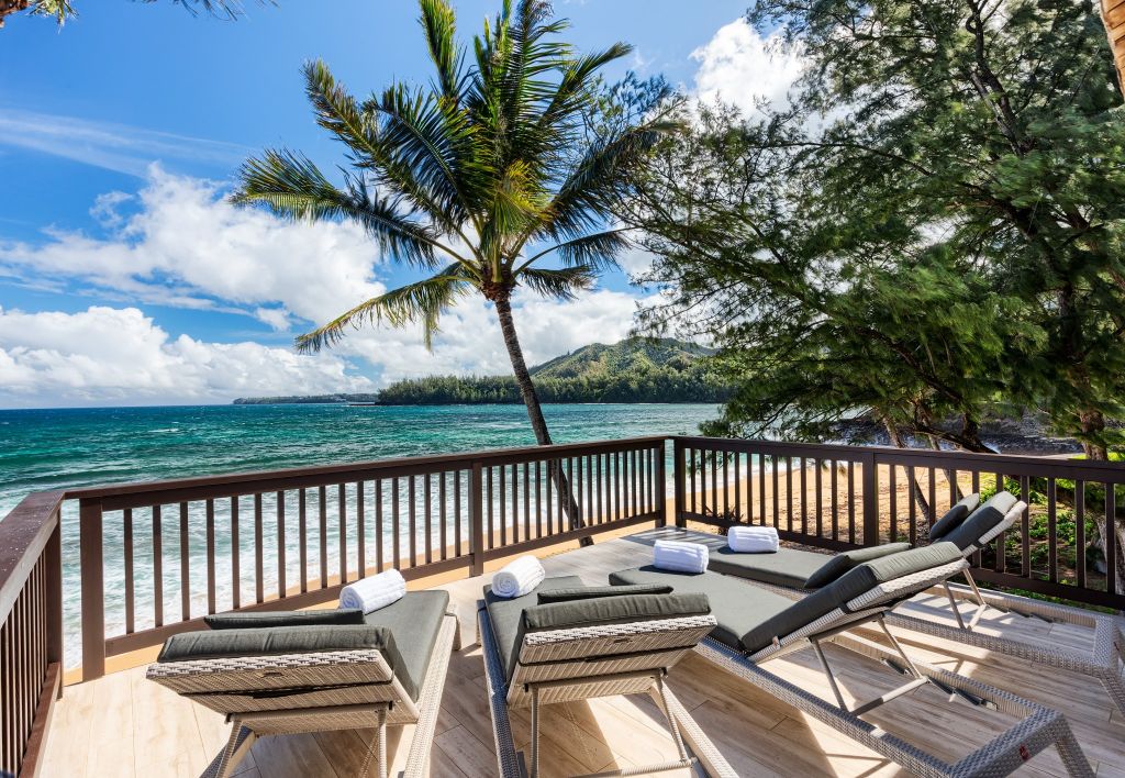
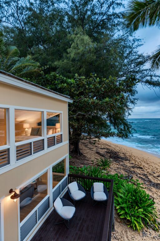
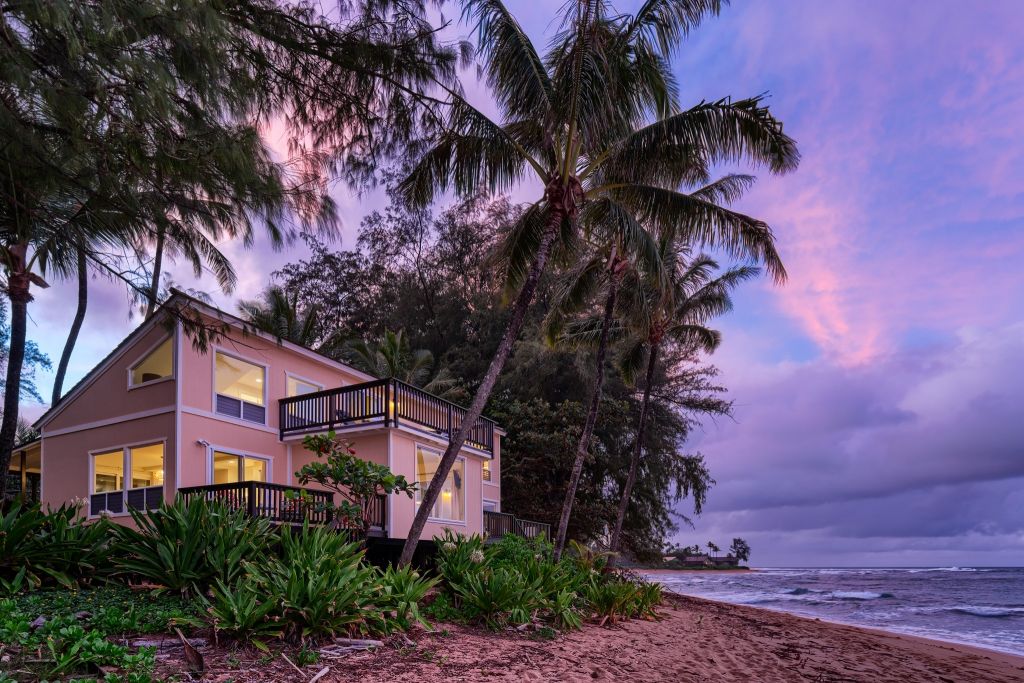
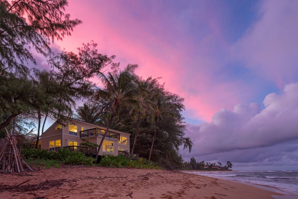
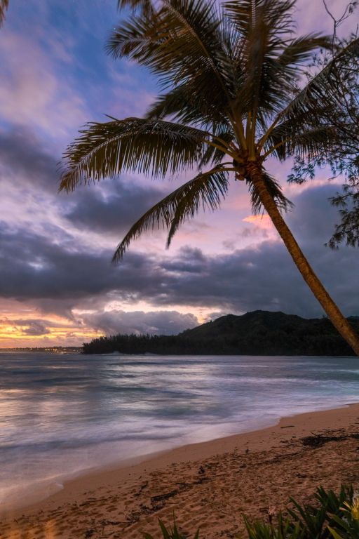
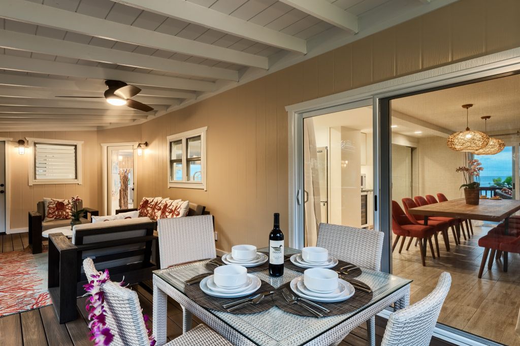
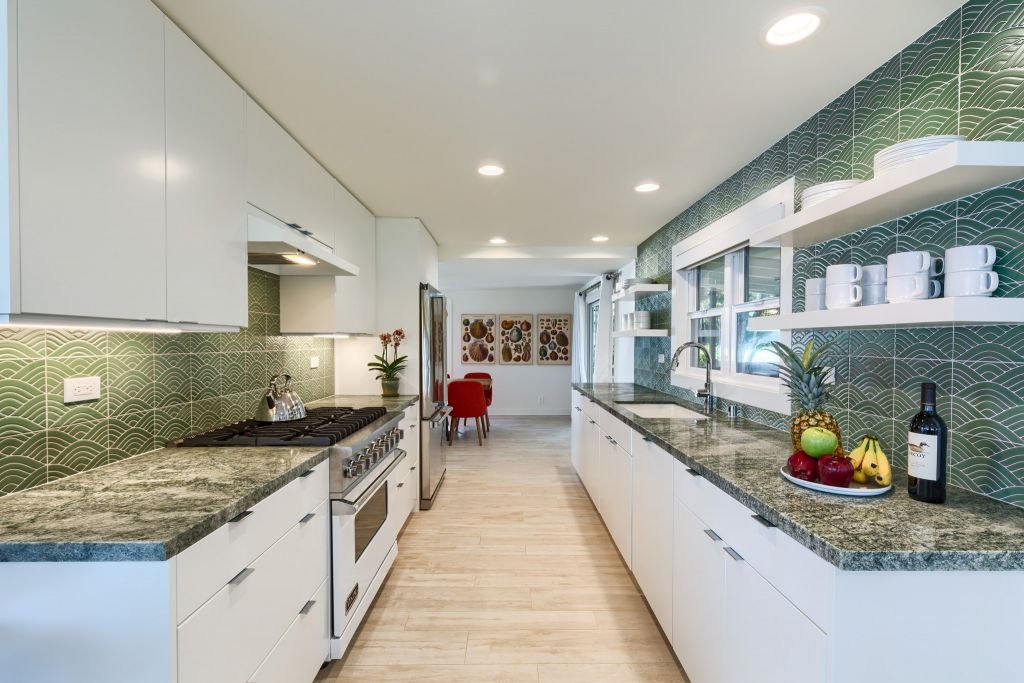
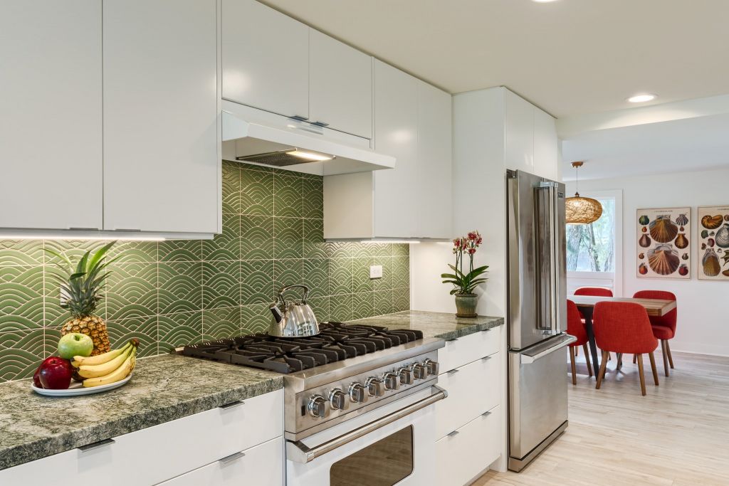
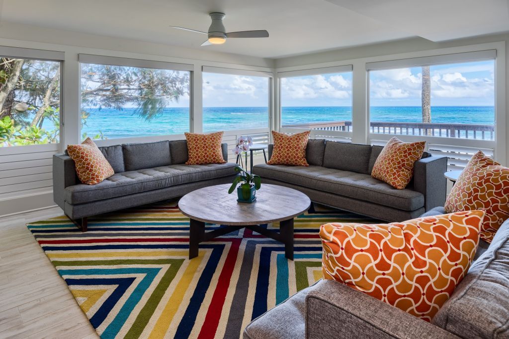
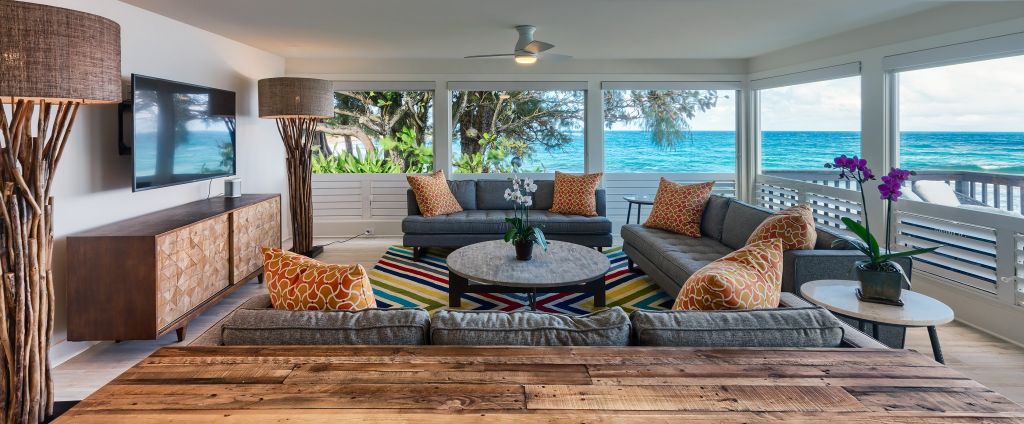
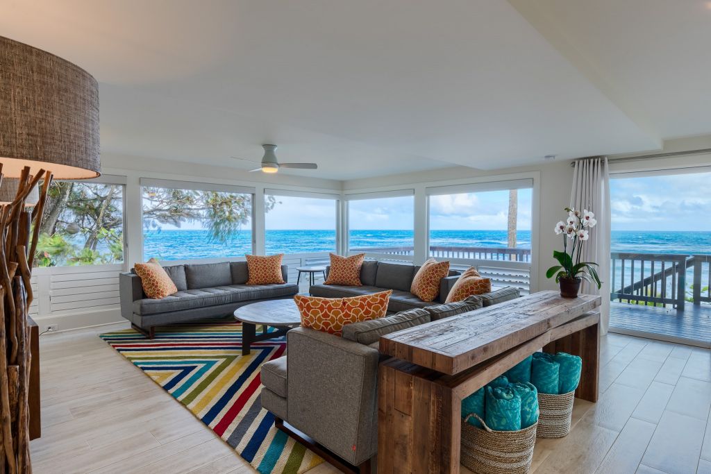
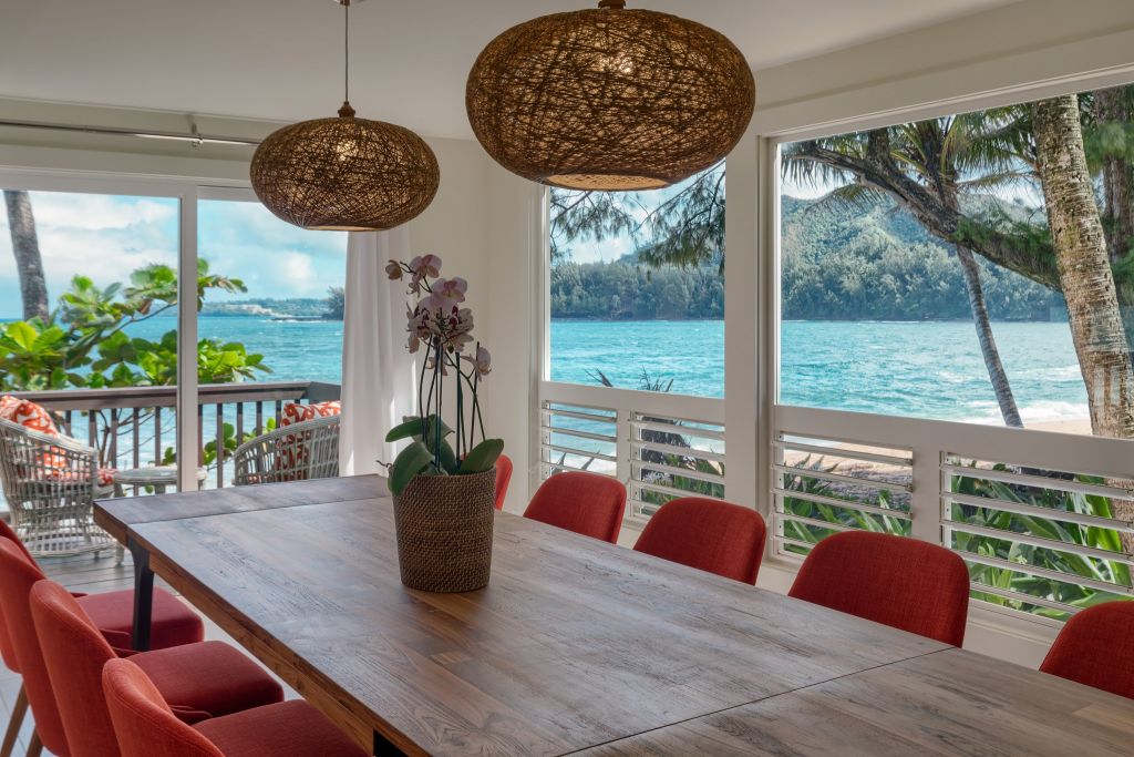
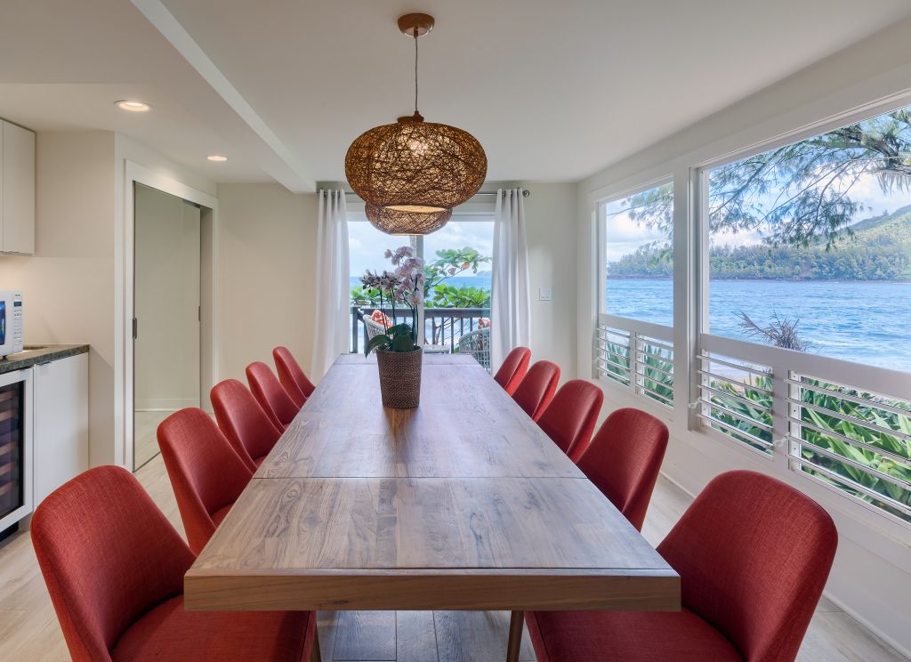
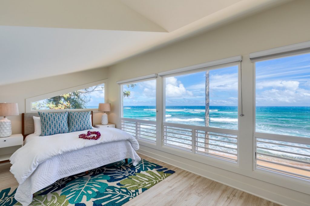
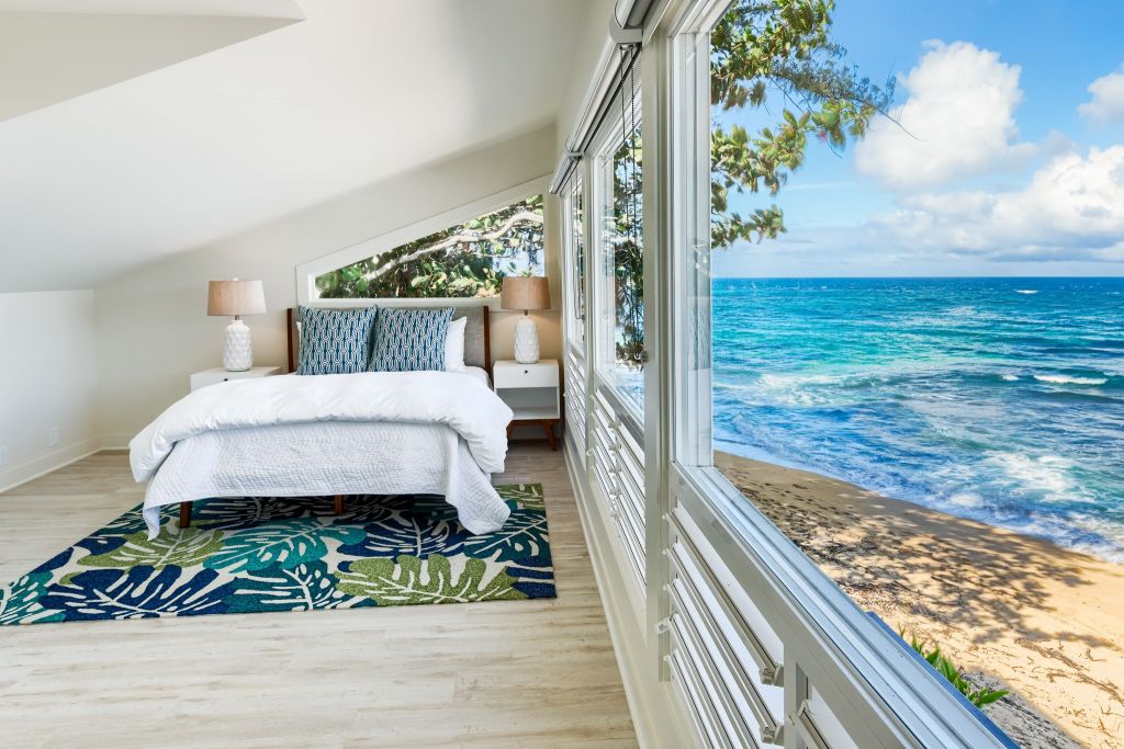
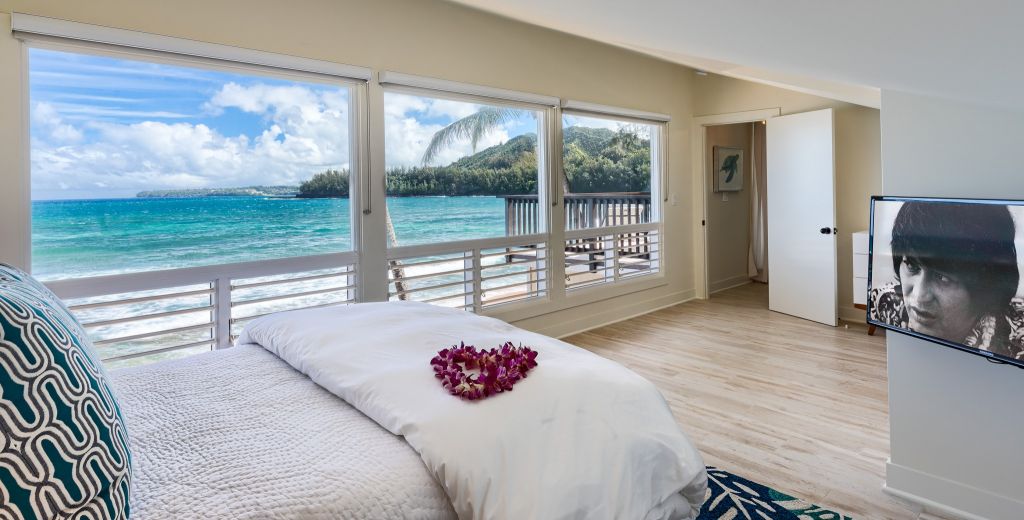
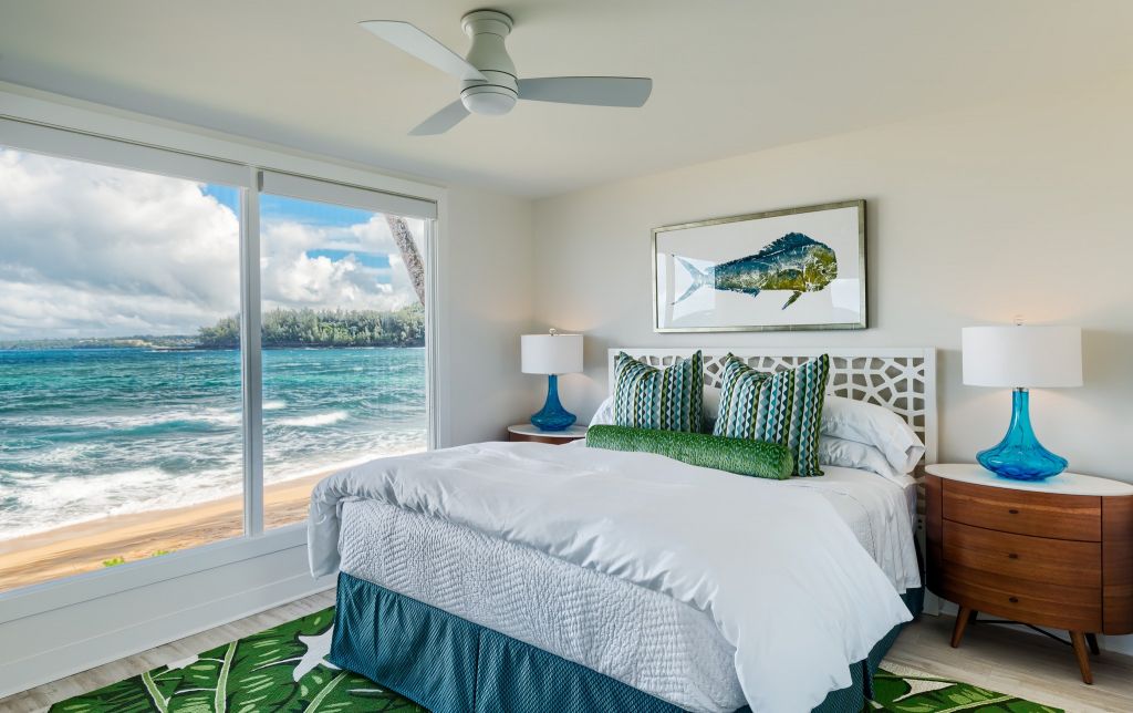
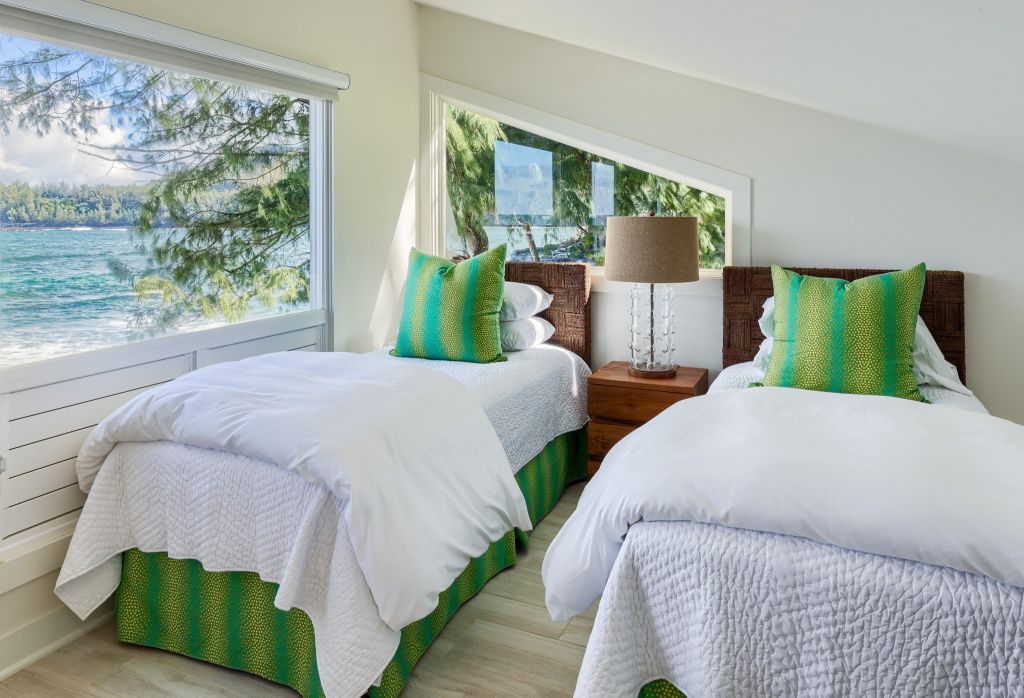
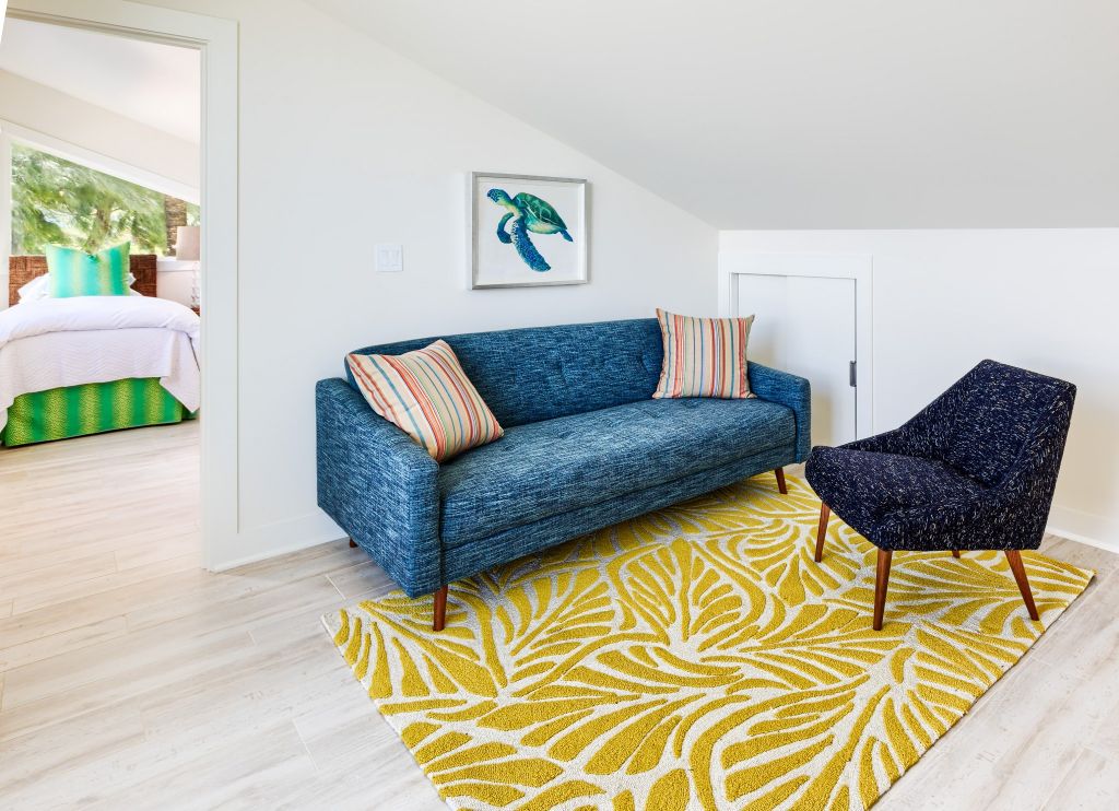
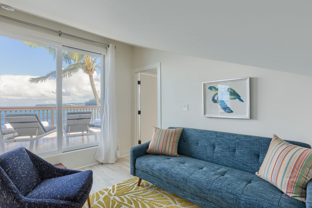
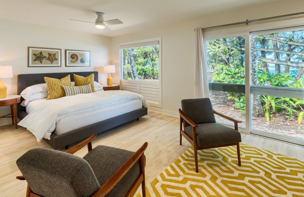
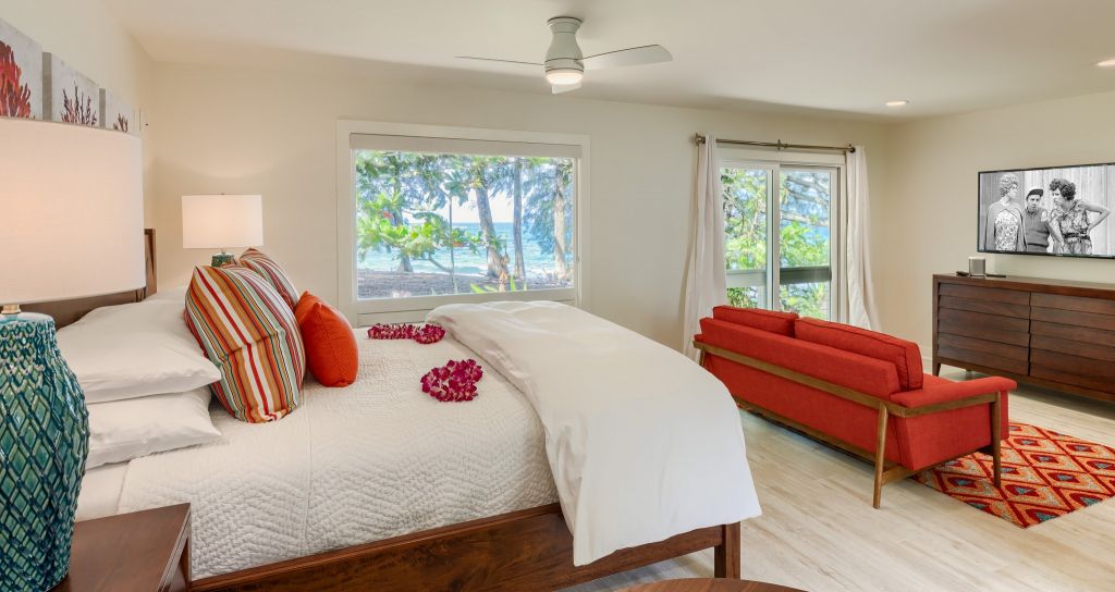
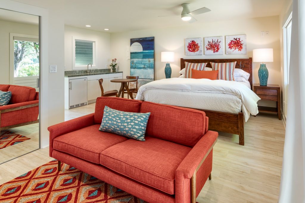
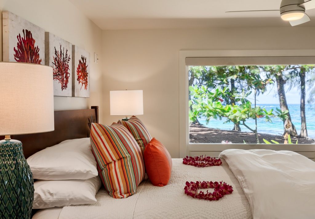
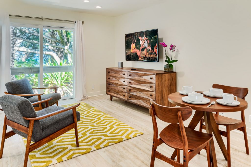
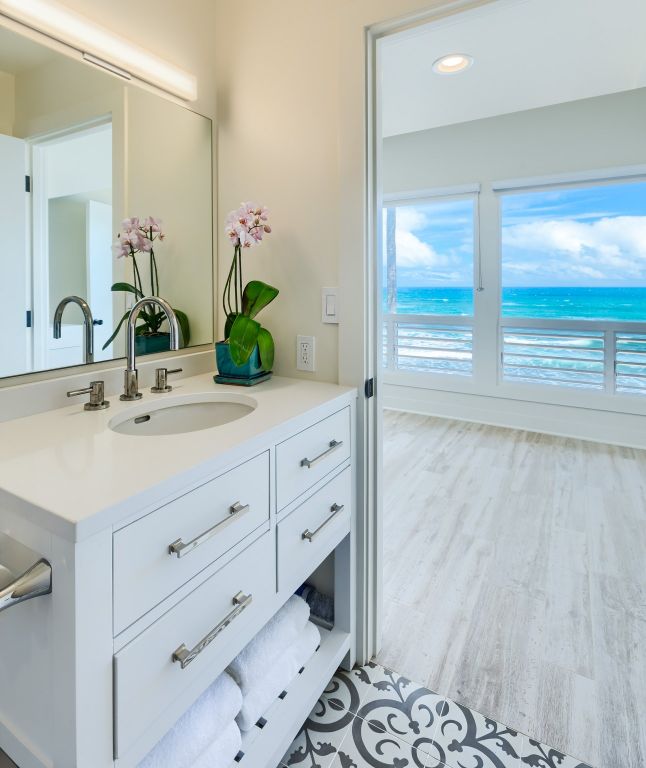
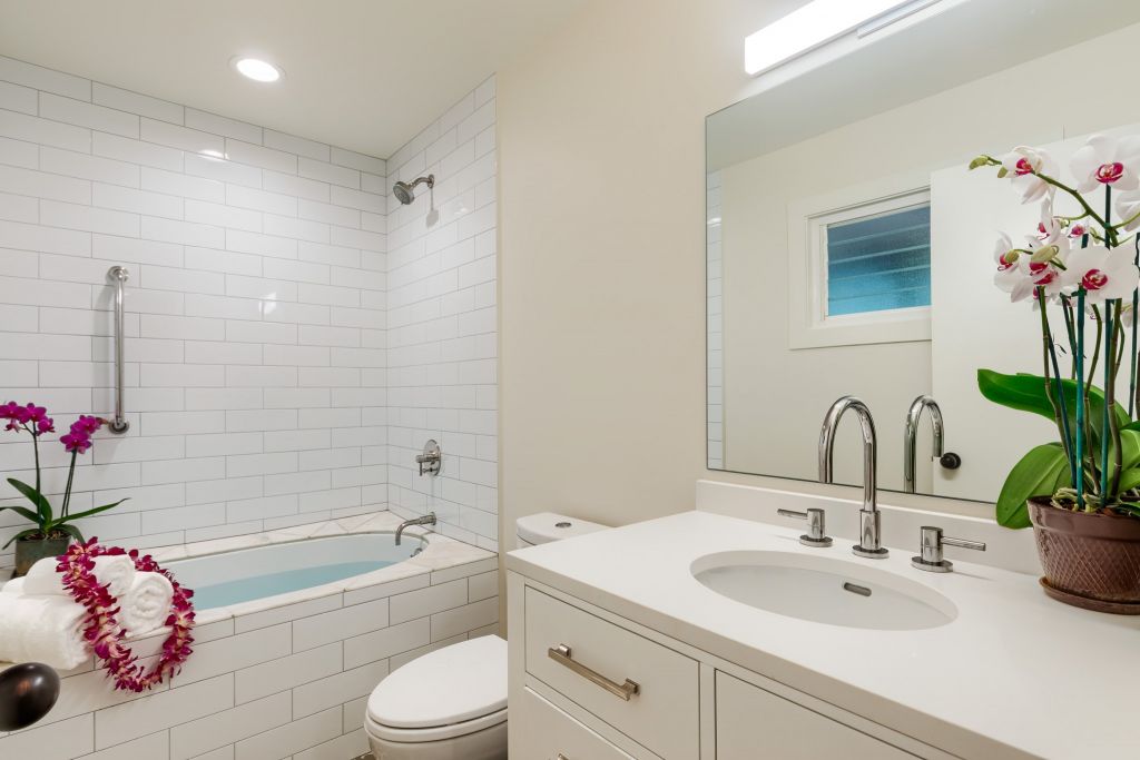
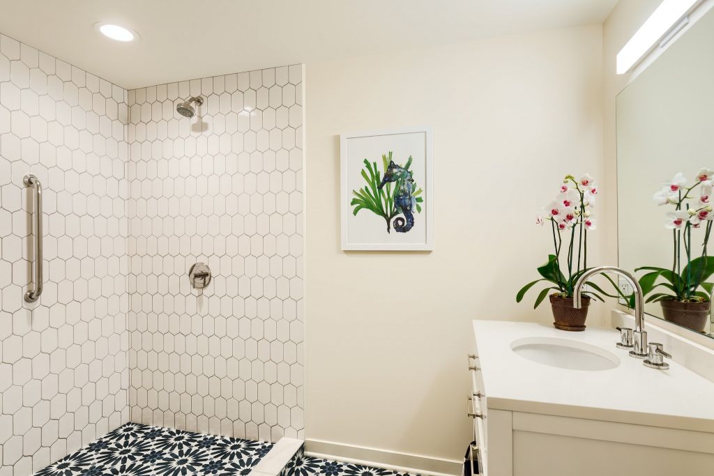
Dave Tonnes of PanaViz was brought on board to photograph the model residence for Timbers Resort’s Kauai project.

About Timbers Kauai – Ocean Club & Residences

Timbers Kauai Ocean – Club & Residences is an oceanfront private residence club located in the resort and golf community of Hokuala on the southeast coast of the island of Kauai. Luxury condominium resort offering residential interest and whole ownership private residences featuring five-star services and amenities.

47 residences with 2, 3 and 4 bedroom floor plans will be offered.

About Maunai Lani Resort

Kalahuipua’a
(“The Gathering Place”)

Mauna Lani Resort encompasses approximately 3,200 acres with over 3 miles of accessible oceanfrontage. Named one of the top luxury, eco-friendly resorts in the world, Mauna Lani is home to two upscale oceanfront hotels; the 350 room Mauna Lani Bay Hotel and the Fairmont Orchid Hotel, two 18 hole championship golf courses, Hawaiian spa and fitness club, tennis courts, a property owner’s beach club, Ancient Hawaiian fishponds, historic petroglyph fields, shopping, fine and casual dining.
This very special place where Hawaiian culture is preserved and kept alive is also recognized as one of the most innovated “Green” resorts in the world. Preserving Hawaii’s resources and being at the forefront of environmental stewardship, Mauna Lani is generating over 1 million kWh of green power through solar energy innovations. Photovoltaic systems provide operating power and supplies the majority of the resort’s daytime water pumping power requirements. Irrigation water for the two golf courses is supplied by brackish water wells, pumping more than 3 million gallons a day.
First settled over 800 years ago, Mauna Lani Resort is marked by numerous archaeological sites, early Hawaiian foot trails, royal fishponds and lava formations. Trails through the resort reveal shelter caves, burial sites and petroglyphs.
Real estate opportunities are many and varied both in selection of product and prices points. Mauna Lani still offers some of the most reasonably priced real estate on the Kohala Coast. Neighborhoods include:

PanaViz has provided hotel and resort photography for the following communties within Mauna Lani Resort.

● Mauna Lani Terrace

● Mauna Lani Point

● 49 Black Sand Beach

● The Cape

● Champion Ridge

● The Estates

● The Islands

● The Villages

● Pauoa Beach

● Ke Kailani

● The Fairways

● Palm Villas● Golf Villas● Kulalani● Ka Milo
Property owners at the Mauna Lani Resort can join the Advantage Club, which provides charge privileges and discounts at some resort venues, use of the Beach Club, Racquet Club and priority tee times and reduced green fees at both golf courses.


See Kauai Vacation Rental Photography here

See Kauai Real Estate Photography here.


[post_grid id=”17091″]

About Kauai Resort Residence Photography

PanaViz is an architectural photographer focusing on photography of hotels, resorts, commercial and luxury residential real estate. Our work spans across the globe.

David, our founder and lead photographer, is a highly sought award winning architectural photographer. His assignments have taken him across the globe.

Dave’s passion for his craft comes through. He has a unique ability to capture the architecture and interiors of diverse properties, places and spaces.

Hawaii Architectural Photographer

Luxury Pools of Paradise

luxury pool photography by panaviz

Moody Photography of Luxury Pools

Luxury pools. As a world class photographer of spaces, David gets to photograph some phenomenal properties across the globe.

A majority of these properties have a least one pool and hot-tub, some have several.

Here are some pools we have captured in the Hawaiian Islands.  Photographed at dusk and early evening.

PanaViz is an architectural photographer specializing in photography of hotels, resorts, commercial and luxury residential real estate across the globe.

He has a unique ability to capture the architecture and interiors of diverse properties, places and spaces.

As a world class photographer of spaces, David is a expert in aerial photography, architectural photography, interiors photography, architectural product and hospitality lifestyle photography.

You can see his architectural photography here. His luxury home photography can be seen here. Some of the most majestic homes photographed by Dave are on Kauai. See his Kauai Real Estate Photography here.

Luxury Home Photography

Luxury Home Photography

Diamond Head Luxury Home

Luxury Home Photography – Panaviz photographed this unique Oahu. 

PanaViz did the still photography and 360 virtual tour of this property, and it sold in days.

Click for Property 360 Virtual Tour

This home was designed to capture Hawaiian indoor/outdoor living.  It had 5 bedroom and 4-and- a-half-bath.  It had glorious views.  It was located on Oahu’s exclusive Gold Coast.

The home offered all of the features expected in a luxury home.  A splendid entrance lead to a courtyard with glorious tropical foliage. 

A gourmet kitchen, and gorgeous living areas finished with exquisite solid wood and natural stone open onto a beautiful pool, spa, pool house; all within the sounds of breaking surf and views of incredible sunsets.

Oahu Luxury Real Estate Photographer
003 4
004 2
005 1
006 3
009 2
010 1
012 2
015 2
016 1
017 4
018 3
019 4
020 1
022 2
023
026 1
027 1
028
029
030


Neighborhood

Kahala is the exclusive “Beverly Hills” of Honolulu, being the wealthiest part of Oahu. Kahala Hotel Resort and Spa is in this exclusive part of Honolulu bordered by Diamond Head crater and Waialae Country Club. Kahala has a collection of gorgeous multi-million dollar homes to rival those any where in the world.

Luxury Residential Photography by PanaViz

Showcase your listing the way it deserves to be seen!

360 Panoramas aka Virtual Tours

360 Virtual Tour

What is the difference between Panoramas and 360 Panoramas?

360 panoramas show the widest angle of a space, including up, down, and all around.

A panorama is any wide-angle view or representation of a physical space, whether in painting, drawing, photography, film, or a three-dimensional model. The motion-picture term panning is derived from panorama.

Resort Photography Portfolio
An Example of a Panoramic Photo

Digital photography has made it possible for us to take a number of wide angle images of a space and stitch it together so that a full 360° of a scene is captured. Thus the 360 panorama.

This image is than displayed in a viewer that allows a user to look around within this photo in an immersive experience.

Now see the 360 interactive panorama of the above scene here.

Virtual Tours for a Home

360 Panoramas have been around for over 20 years. The technology has improved significantly – it’s easier to use, navigate, and load now.

Panoramas have been perceived as gimmicky in the past, but when well implemented, they can add value to the way you display your property.

360 Virtual tours add to the vignette of still photos that exist for your property. They are a wonderful way to show the layout and flow of a space, the all around views, the soaring ceilings and wonderful carpeting and flooring.

360 Panoramas are also referred to as 360 Virtual Tours

360 Virtual Tour

Beach House Photography
Beach House Virtual Tour
Click  [ ]  to view in full screen

The interactive 360 panoramas show the relationship between the individual photos we took of this place below.

Still Photos

You can see this house showcased via photos here.

Honolulu Chapel Virtual Tour

Casino Photography

Hotel and Resort Photography

Aerial Panoramic Photography

Hawaii Drone Photography in the Hawaiian Islands

Dave Tonnes: Aerial Panoramic photography is a hobby of mine. These are taken mostly around the Hawaiian Islands.

In addition to helicopter-based aerials, I also capture low‑altitude drone panoramas for architectural, hospitality, multifamily, senior living, and commercial developments. Drone platforms allow us to photograph precise elevation bands, controlled vantage points, and tight site conditions where helicopters cannot operate. These drone panoramas integrate seamlessly with our high‑altitude helicopter imagery for full‑coverage documentation.

Punchbowl Memorial Cemetery

punchbowl aerial panorama panaviz
Punchbowl National Cemetery

Ala Moana Beach Park, Waikiki and Diamond Head Panoramas

Ala Moana Beach Park and Waikiki Panoramas

Ala Moana Beach Park Interactive Panorama
Diamond Head Bunker Interactive Panorama
Diamond Head Lighthouse and Beach Interactive Panorama
Duke Kahanamoku Lagoon and Beach Interactive Panorama
Grays Channel Waikiki Interactive Panorama
Magic Island Interactive Panorama

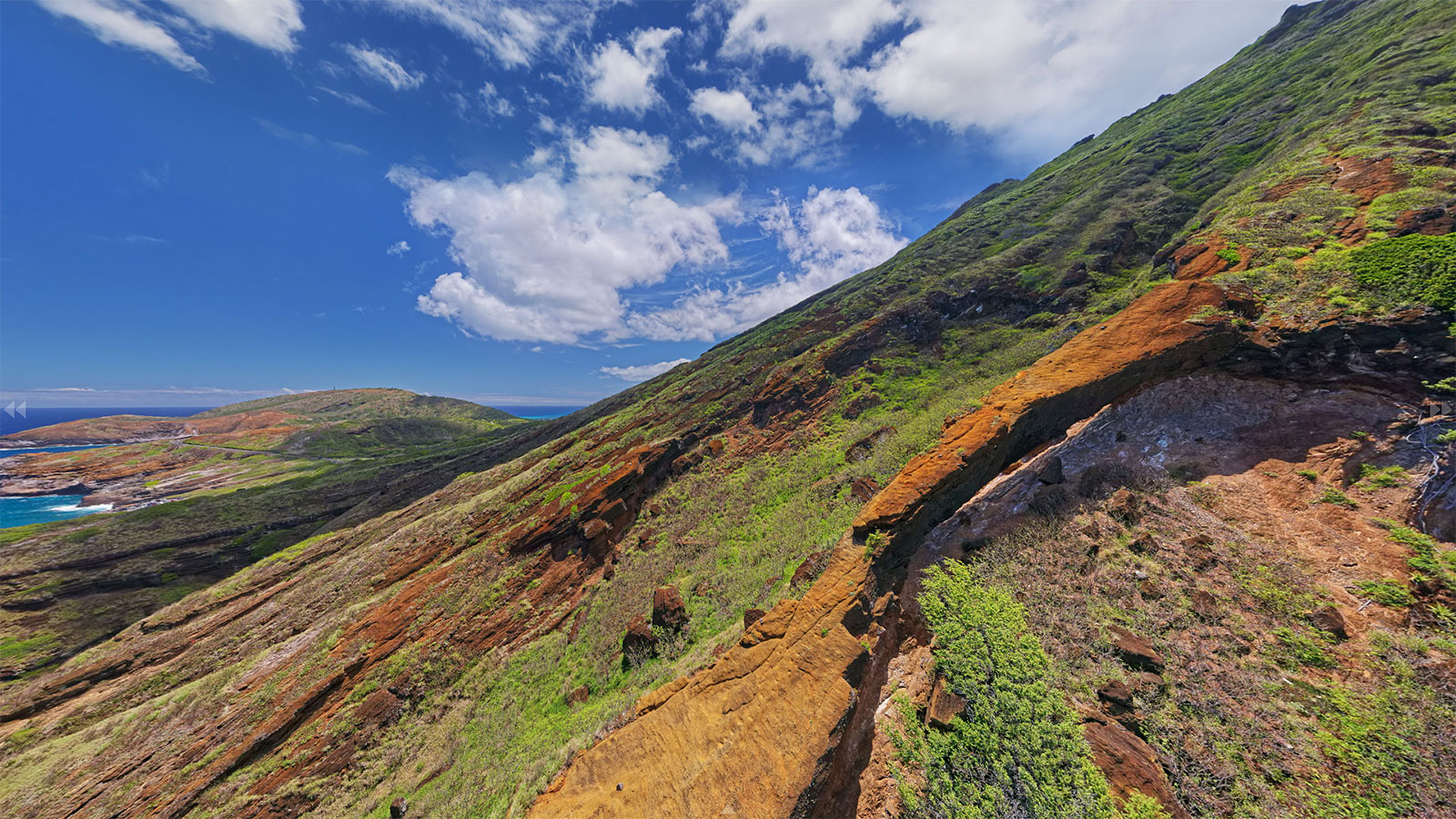
Aerial Panoramas Around Koko Crater

Koko Head Aerial Panoramas by PanaViz
Koko Crater Panoramas Interactive Version
Halona Blowhole Lookout Interactive Version
Koko Crater Arch Interactive Version
Koko Crater Platform Interactive Version
Lanai Lookout – Oahu Interactive Version
Palea Point Interactive Version

Anaeho’omalu Bay and Waikoloa

Aerial Panoramic Photography
Anaeho’omalu Bay and Waikoloa Panorama Interactive Version

Aerial panoramic photography is a specialized type of 360 photography where we capture the nadir, zenith and all around view of a place, using an elevated pole/drone/helicopter.

Kailua Beach

Aerial Photography
Kailua Beach Panorama Interactive Version

It is great for capturing the big picture of an expansive place such as a resort.

Mauna Kea Beach

Panoramic Photography
Mauna Kea Beach Aerial Panorama Interactive Version

Makapuu Beach

Makapuu Beach Panorama
Makapuu Beach Aerial Panorama Interactive Version

Hanauma Bay

Hanauma Bay Panorama
Hanauma Bay Panorama Interactive Version

South Molokai

Aerial Panoramic Photography
South Molokai Panorama Interactive Version

Halawa Bay, Molokai

Halawa Bay Panorama
Halawa Bay Panorama Interactive Version

Panoramic Photography

We usually create aerial panoramas as part of our photography services for luxury hotels and resorts.

An interactive panorama lets folks interact with a panorama using their mouse or smartphone. They can tilt their phones or use the mouse to look right, left, up and down.

I generally share my Hawaii panoramas on Facebook, where they are popular. Since Facebook only allows a small size image upload best seen on a mobile device, I upload my larger-multi resolution images on our server, and these show greater detail on desktop and HD T.V. screens.


Luxury Hotel Photography

Mokulua Beachhouse

Mokulua Beachhouse – Photographing a piece of History

Walker’s Lanikai Beach House.

Mokulua Beachhouse History – John Walker, was a Scotsman who made his way to Hawaii as a young man in the 1870’s to become a contractor of choice to Queen Liliuokalani, and erect such notable buildings as the Bishop Museum and Honolulu Hale
(City Hall).

Mr. Walker’s inviting presence is felt in the structure of this, his favorite hideaway on Lanikai Beach. Built in 1934, this enchanting environment transports you back to an era of graceful living, where the worries of the world are lost in the luxury of sea n sand and restful surroundings.

Following recent renovations, the house contains just the right combination of added comforts in its updated kitchen, guest quarters and “boat house”, with elements of charm carefully preserved from a richly felt past.

One of the first homes to take advantage of Lanikai’s heavenly reef-protected waters and natural stretch of white sand beach, John Walker’s Beach House set the standard by which the surrounding community grew…a standard which has been nurtured by his family through the years for you to enjoy. Although only with us in spirit, John Walker’s love of Lanikai is preserved by one of his most revered places in the world.

Mokulua Beachhouse

Mokulua Beachhouse

The main house features 3 bedrooms, kitchen and large “great room” with spacious guest rooms. Steps away is the white soft sands of Lanikai Beach with access to the water provided from the front lawn. With a separate entry, the ‘guest cottage’ located off the entry courtyard features a queen-bedded room and a small parlor with kitchenette (sleeps up to 4).

Another private entry “boathouse” sits above the garage – complete with its own living room, kitchen, bathroom and lanai. The “boathouse” also has a loft area with double bed that may be suitable for young children (sleeps 2-4). This is the classic Lanikai Beach House – for those looking for a casual, relaxing getaway on the shores of one of the worlds’ best beaches!

More from PanaViz

A luxury home at Kohola Point

PanaViz on YouTube

Kinja

Flipboard

Hawaii Commercial Photographer

Moments

HGTV’s Ultimate House Hunt Winner

kohola point anini vista

Kohola Point — An Elegant Island Estate at Anini Vista, North Shore Kauai

Kohola is the Hawaiian Word for the Humpback Whales who frequent the Islands during the winter months between December & April and which are often seen from these high bluffs above Anini Beach.

Located in one of the most desirable locations on the North Shore of Kauai, with quick access to an incredible and healthy Hawaii Lifestyle, yet tucked away from the crowds at the end of a quiet and private cul-de-sac.

4201 Anini Vista Drive 2018 11 30 008
4201 Anini Vista Drive 2018 11 30 020 1

Perched high above the sparkling Pacific Ocean on Kauai’s North Shore, the three-acre estate capitalizes on its prime location with floor-to-ceiling windows and easy access to a sprawling patio.

4201 Anini Vista Drive 2018 12 01 048

Inside are four bedrooms, four-and-a-half baths, a gourmet kitchen, and sleek living spaces with high ceilings and hardwoods. A swath of outdoor living space with an infinity pool, outdoor kitchen and bar, mature landscaping, and ocean that runs smack into the horizon rounds out the impressive credentials of this #vacationgoals villa.

4201 Anini Vista Drive 2018 12 01 061 1
4201 Anini Vista Drive 2018 12 01 023
4201 Anini Vista Drive 2018 12 01 058

Kohola Point

  • Lot Size (Ft) 131,595
  • Floor Area (Sq.Ft) 4,003
  • Baths 4.1
  • Bedrooms 4
  • Year Built 2001

Kohola Point is…
• Exquisitely Designed & Impeccably Crafted
• Perched High Above the Expansive Blue Pacific
• Gated, Private & Secure
• A Licensed Vacation Rental (TVR) w/ a Steady Income Stream
• Immaculately Maintained

Kohola Point has…
• Expansive Views of Waves, Sunsets, Rainbows, Whales…
• Beautiful Hardwood Floors
• A Gourmet Kitchen that is a Chef’s Delight
• An Infinity ­Edge, In­Ground Pool & Spa
• A Spacious and Private Master Bedroom Suite
• A Gracious & Large Dining Area
• State­-of-­the-­Art Technology
• Three Private Guest Bedroom Suites
• High Ceilings
• Ample Natural Light
• A Seamless Integration of Indoor & Outdoor Living Areas
• An Outdoor Kitchen & Bar Area
• An Exotic, Colorful & Mature Tropical Landscape
• Air Conditioning

Kohola Point has…
• Expansive Views of Waves, Sunsets, Rainbows, Whales…
• Beautiful Hardwood Floors
• A Gourmet Kitchen that is a Chef’s Delight
• An Infinity­Edge, In­Ground Pool & Spa
• A Spacious and Private Master Bedroom Suite
• A Gracious & Large Dining Area
• State­-of-­the-­Art Technology
• Three Private Guest Bedroom Suites
• High Ceilings
• Ample Natural Light
• A Seamless Integration of Indoor & Outdoor Living Areas
• An Outdoor Kitchen & Bar Area
• An Exotic, Colorful & Mature Tropical Landscape
• Air Conditioning

More about PanaViz

PanaViz on YouTube

Kinja

Flipboard

Commercial Photographer

Moments

Punchbowl Cemetery

National Memorial Cemetary of the Pacific –

Punchbowl Cemetery – National Memorial Cemetery of the Pacific

Punchbowl Cemetery – Few national cemeteries can compete with the dramatic natural setting of the National Memorial Cemetery of the Pacific.

Over 13,000 servicemen who were killed in action in the Pacific Theater during WWII are buried at Punchbowl. Punchbowl stands as a beacon that welcomed them back home to a fitting location where they are memorialized. Today over 62,000 soles are laid to rest at Punchbowl.

National Memorial Cemetery of the Pacific

Commonly knows as Punchbowl Cemetery or Punchbowl Memorial, the bowl was formed some 75,000 to 100,000 years ago during the Honolulu period of secondary volcanic activity.

A crater resulted from the ejection of hot lava through cracks in the old coral reefs which, at the time, extended to the foot of the Koolau Mountain Range.

Punchbowl Memorial Cemetery Aerial Panorama

Punchbowl Cemetery
Click to Enter Panorama

Punchbowl Memorial Cemetery Grounds

punch bowl cemetery
360 Panorama of Punchbowl Cemetery – Click to Look Around

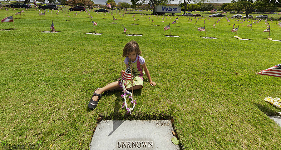
Dave took his panoramic pole when visited Punchbowl on Memorial Day with our 4 Year Old.  These pictures were taken after the official memorial day ceremonies had ended.

Punchbowl Memorial History

Punchbowl Cemetery
Punchbowl Cemetery

During the late 1890s, a committee recommended that the Punchbowl become the site for a new cemetery to accommodate the growing population of Honolulu. The idea was rejected for fear of polluting the water supply and the emotional aversion to creating a city of the dead above a city of the living

punchbowl memorial
Punchbowl Cemetery

Fifty years later, Congress authorized a small appropriation to establish a national cemetery in Honolulu with two provisions: that the location be acceptable to the War Department, and that the site would be donated rather than purchased. In 1943, the governor of Hawaii offered the Punchbowl for this purpose.

Punch bowl
Punchbowl Cemetery

The $50,000 appropriation proved insufficient, however, and the project was deferred until after World War II. By 1947, Congress and veteran organizations placed a great deal of pressure on the military to find a permanent burial site in Hawaii for the remains of thousands of World War II servicemen on the island of Guam awaiting permanent burial.

Subsequently, the Army again began planning the Punchbowl cemetery; in February 1948 Congress approved funding and construction began.

Punchbowl Cemetery
Punchbowl Cemetery

Prior to the opening of Punchbowl Cemetery for the recently deceased, the remains of soldiers from locations around the Pacific Theater including Wake Island and Japanese POW camps were transported to Hawaii for final interment.

The first interment was made Jan. 4, 1949. The cemetery opened to the public on July 19, 1949, with services for five war dead: an unknown serviceman, two Marines, an Army lieutenant and one civilian noted war correspondent Ernie Pyle. Initially, the graves at National Memorial Cemetery of the Pacific were marked with white wooden crosses and Stars of David like the American cemeteries abroad in preparation for the dedication ceremony on the fourth anniversary of V-J Day.

Eventually, over 13,000 soldiers and sailors who died during World War II would be laid to rest in the Punchbowl.

Punchbowl Cemetery
Punchbowl Cemetery

Despite the Army’s extensive efforts to inform the public that the star- and cross-shaped grave markers were only temporary, an outcry arose in 1951 when permanent flat granite markers replaced them. A letter from the Quartermaster General to Senator Paul Douglas in December 1952, explained that while individual markers are inscribed according to the appropriate religious faith:

Crosses do not mark the graves of the dead of our country in other national cemeteries. No cross marks the burial of our revered Unknown Soldier. From Arlington to Golden Gate, from Puerto Rico to Hawaii, the Government’s markers in national cemeteries for all our hero dead are of the traditional designs'[s]ome are upright and some are flat. None is in the form of a religious emblem.

Unknown Soldier Grave
Punchbowl Cemetery’s Unknown Soldier Grave


The National Memorial Cemetery of the Pacific was the first such cemetery to install Bicentennial Medal of Honor headstones, the medal insignia being defined in gold leaf. On May 11, 1976, a total of 23 of these were placed on the graves of medal recipients, all but one of whom were killed in action.

The Punchbowl has become one of the area’s most popular tourist destinations. More than five million visitors come to the cemetery each year to pay their respects to the dead and to enjoy the panoramic view from the Punchbowl. One of the most breathtaking views of the Island of Oahu can be found while standing at the highest point on the crater’s rim.

Memorial-View
Punchbowl Memorial View

In August 2001, about 70 generic unknown markers for the graves of men known to have died during the attack on Pearl Harbor were replaced with markers that included USS Arizona after it was determined they perished on this vessel.

In addition, new information that identified grave locations of 175 men whose graves were previously marked as unknown resulted in the installation of new markers in October 2002.

The National Memorial Cemetery of the Pacific was placed on the National Register of Historic Places in 1976.

Monuments and Memorials

The National Memorial Cemetery of the Pacific contains a memorial pathway that is lined with a variety of memorials that honor America’s veterans from various organizations. As of 2008, there were 56 such memorials throughout the National Memorial Cemetery of the Pacific’most commemorating soldiers of 20th-century wars, including those killed at Pearl Harbor.

Historical information from U.S. Department of Veteran Affairs.


You may like – Pearl Harbor

PanaViz is a Hawaii Commercial Photographer.  The scenic panoramas of the islands are not taken for commercial purposes.

Island of Molokai

Beach-at-Halawa Molokai

Molokai

Molokai Area: 673.4 km²
Population: 7,404 (2000)
Highest elevation: 4,961 ft (1,512.1 m)
Largest settlement: Kaunakakai

History of Molokai

Molokai is a Hawaiian island in the central Pacific. Molokai was long inhabited by self-sufficient taro growers and fishermen. In the 18th century the kingdom of Oahu gained control over Molokai; its rule lasted until 1785, when warriors from Maui and Hawaii islands invaded and separately ruled the island. Hawaiian chief Kamehameha I invaded in 1795 and subordinated the population as part of his effort to unify the Hawaiian Islands. Christian missionaries arrived on Molokai in the 1830s. A large ranch was established by Kamehameha V, but this destroyed much of the island’s plant life and fishing ponds.

By the 1860s a colony had been begun for victims of leprosy (Hansen disease), and this led to the forced resettlement of many of the island’s natives, particularly from the Kalaupapa Peninsula, in the 1860s and 1890s. The Hawaiian Homes Commission Act of 1921 encouraged homesteading and resettlement on Molokai. Lack of water slowed development, but after 1923, with the growth of the pineapple industry, small villages grew up on the plateau.

The economy of the island suffered a setback in the 1970s and 1980s when the pineapple growers, facing stiff competition from abroad, closed down their operations. Agriculture on the island is now more diversified, with seed corn, coffee and sweet potatoes among the leading exports. Kaunakakai, the chief village, is on the south coast and has a small harbor.

Halawa Valley – Molokai

Hālawa Bay Molokai
Halawa Bay 360 Panorama

Halawa Valley, valley, northeastern Molokai island, Hawaii, U.S. On the northeastern flank of Kamakou summit, it is a deep, verdant gorge 1.75 miles long and 0.5 mile wide.

Archaeological evidence dates habitation in the area from c. ad 650, which makes it one of the oldest Hawaiian settlements. The area possesses one of the most complete collections of ancient residential sites, more than a dozen heiaus (ceremonial and religious structures), and a large-scale irrigation system.

It is believed to be the longest continually occupied site in Hawaii. In the 13th and 14th centuries, it was one of the most densely populated parts of the Hawaiian Islands.

One of the few areas in eastern Molokai suited to agriculture and renowned for the taro root grown there, Halawa Valley supported hundreds of Hawaiians until disastrous tidal waves (1946 and 1957) destroyed most of the buildings and much of the vegetation. It is now occupied by a small number of fishermen and farmers, and it is largely a recreational area (hiking, surfing, fishing).

Hipuapua Falls and Moaula Falls

Hipuapua Falls drops about 500 feet. It is at the end end of the valley, is the area’s highest waterfall; also at the end of the valley is Moaula Falls – 250 feet. Legend says the pool below Moaula contains a moo, a giant lizardlike creature.

Hipuapua and Moa'ula Waterfalls
Hipuapua and Moa’ula Waterfalls
Hipuapua and Moa'ula Waterfalls
Hipuapua and Moa’ula Waterfalls

Leper Colony at Kalaupapa

Kalaupapa Peninsula, also called Makanalua Peninsula, peninsula on the northern shore of Molokai island, Hawaii, U.S. Occupying a 5-square-mile (13-square-km) plateau unsuited to agriculture, the peninsula is isolated from the rest of the island by 2,000-foot (600-metre) cliffs.  The panorama below was taken from the clifftop Kalaupapa Lookout in Palaau State Park.

Molokai Kalaupapa Panorama small
Kalaupapa Peninsula Panorama

It was formed more than 200,000 years ago from the flows of lava from nearby Pu‘u‘uao. For some 900 years it was the site of an ancient Hawaiian agricultural village, whose major crops were taro and sweet potatoes. Archaeological evidence has revealed a once densely populated settlement containing many religious sites.

Kalawao village, on the peninsula’s east side, is now abandoned but was the site of the original “leper colony” established by King Kamehameha V in 1866; to effect a quarantine, native Hawaiians were relocated from the area (the remainder were removed in 1895, after the medical facilities were moved from Kalawao to the western side of the peninsula).

From 1873 to 1889, Father Damien, a Belgian missionary, administered to the physical and spiritual needs of the lepers on the peninsula; his example drew many helpers to the colony. The entire peninsula was occupied by the state leprosarium until 1969, when Hawaii’s isolation laws were abolished.

The colony is still home to many surviving victims of leprosy (Hansen disease), and access to the peninsula is restricted. Kalaupapa (meaning “Flat Plain”) was designated a national historical park in 1980. The district is called Kalawao county but has no formal government and is represented in the state legislature as part of Maui county.

South Molokai Panorama

https://panaviz.com/scenic-molokai/south-molokai/
South Molokai

See our photos and virtual tour of Hawaiian Railway Society: Parlor Car 64

See More of my Panoramic Photography here.


Back To Top